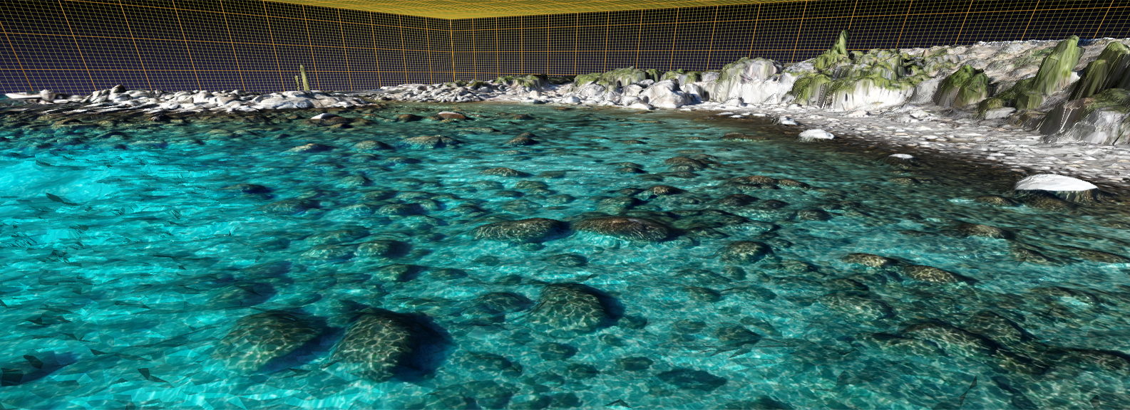
Lakebed, pier and hull inspections, aerial photography and video, litigation support ,agricultural and vegetation mapping (NDVI), tree health monitoring, powerline surveys.
High resolution orthoimagery, contour maps, defensible space analysis and reporting (homeowner's insurance), site surveys, surface elevation models, change monitoring and volumetric analysis, agricultural imaging.
Coming Soon
Environmental Services
Groundwater investigation, Geographic Information Systems analysis and consulting, hydrogeologic framework modeling, contaminant transport simulation.
Coming Soon
About Us
Sierra Geoservices has been providing clients in the Lake Tahoe Basin, Northern Nevada and Northern California with geospatial analysis products in support of construction and development, agricultural and environmental projects since 2015. For more information about how we can help with your project, please email us at info@sierrageoservices.com or call 775-225-1008.